I have geotagged photographs and I would like to place a watermark of the photos location on the front for easy reference as well as creating a shapefile from the coordinates.
Does anyone know of any open source software which could do this?
This link is an example of what Iam trying to acheive
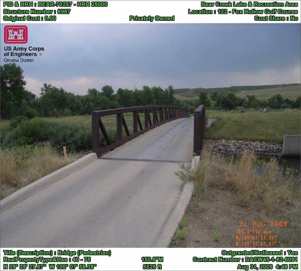
Answer
you can use python for getting EXIF info:
from PIL import Image
from PIL.ExifTags import TAGS
from pprint import pprint

def getexif(im):
    res = {}
    try:

       img = Image.open(im)
       info = img._getexif()
       for tag, val in info.items():
           dec = TAGS.get(tag, tag)
           res[dec] = val

    except IOError:
       print im
    return res
    pprint res
then use python ImageDraw module for drawing text or anything.
import ImageFont, ImageDraw

def drawtext(im):
   op = ImageDraw.Draw(im)
   fnt = ImageFont.truetype("tahoma.ttf", 12)
   op.text((5, 5), "YourText", font=fnt)
No comments:
Post a Comment